


A cool feature in the Photos app is the geolocation tool. Let’s say you took a vacation to Mexico. You can look at a photo on a map and see all your other pictures from that trip grouped by the different places you visited. Here’s how to view photos by location on a map with the iPhone or iPad.
How to See Geolocation in Photos on Your iPhone or iPad
Once your location services are on for your photos, you’ll be able to view your iPhone image locations on a map. If you want more tips on what you can do with your photos, check out our Tip of the Day!
-
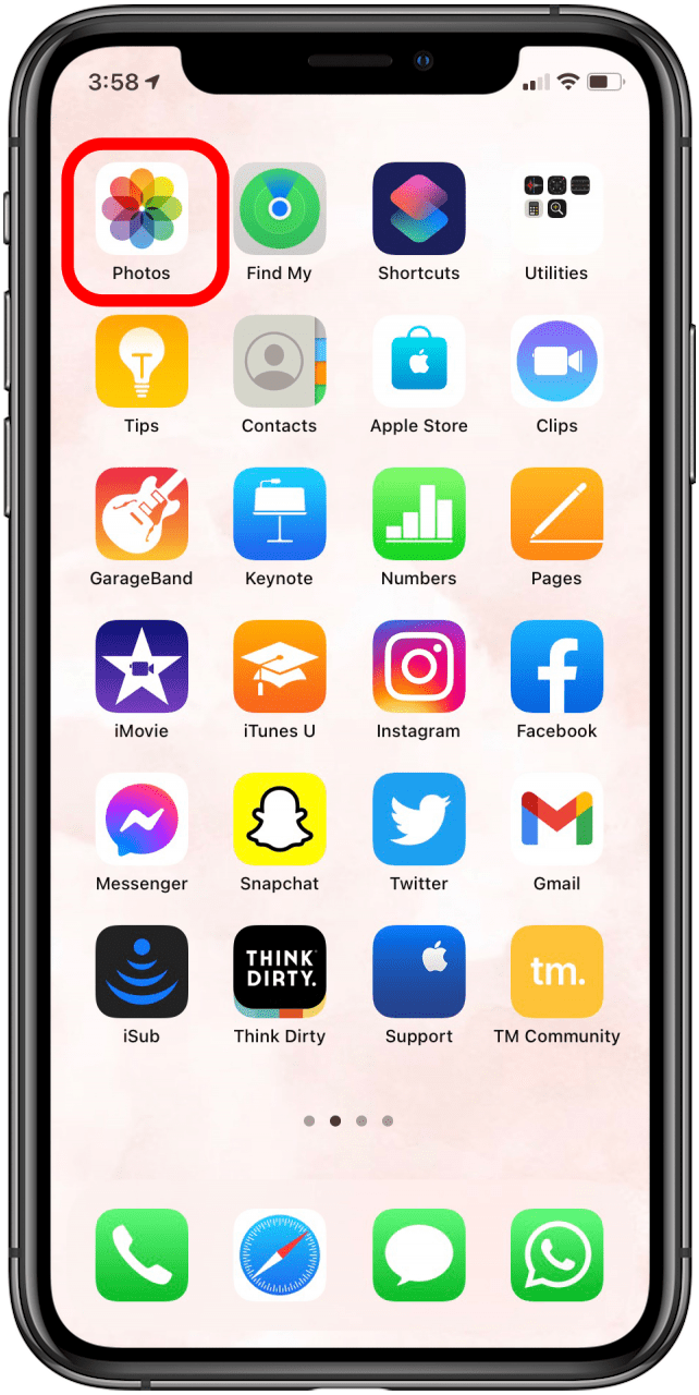
Open the Photosapp.

-
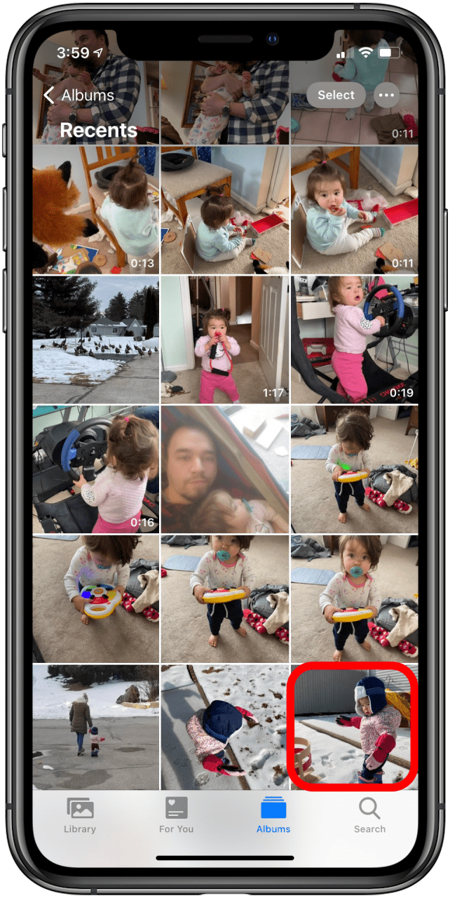
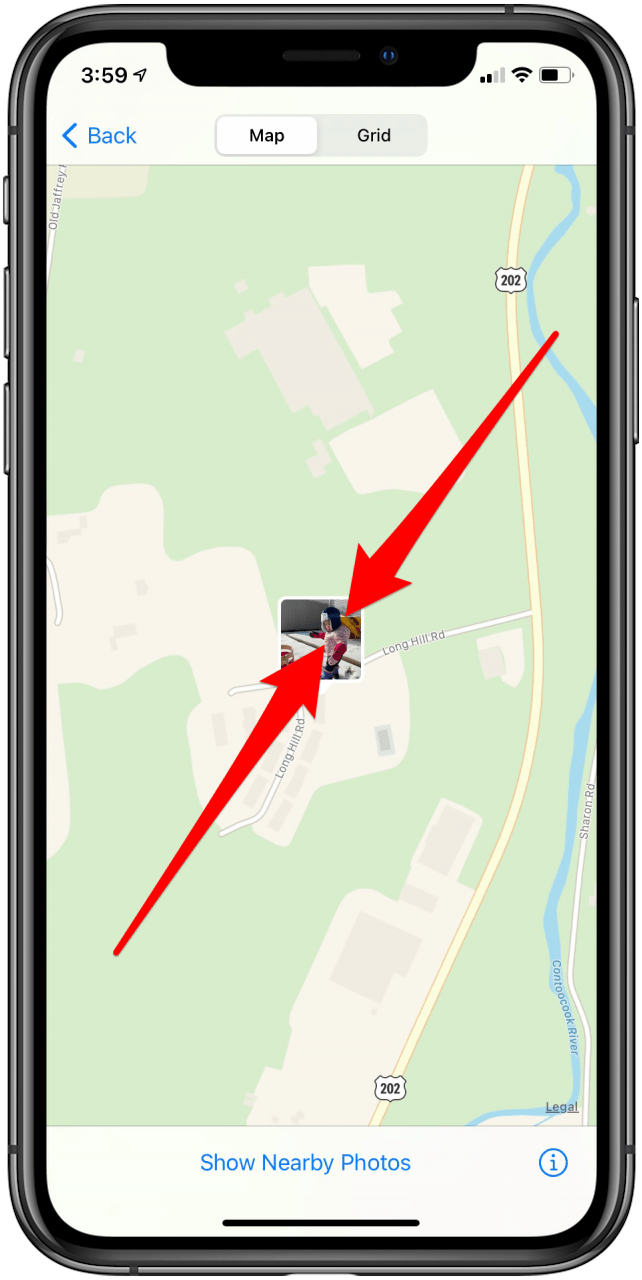
Select the photo you would like to see on the map.
-
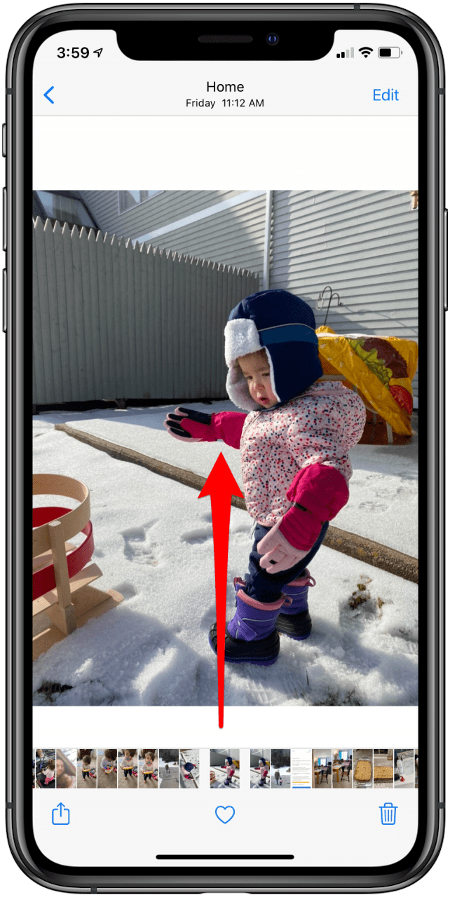
Swipe up on the photo to see it on the map.
-
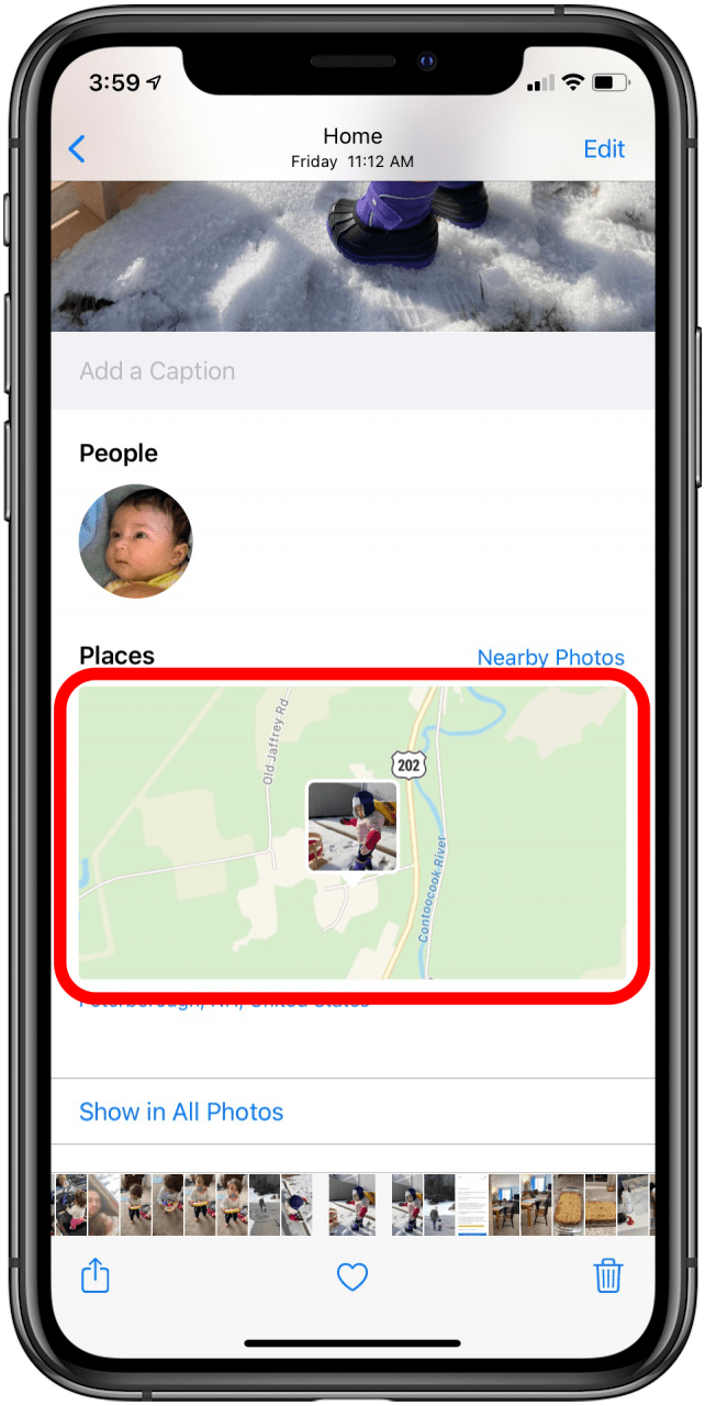
Tap on the map.
-
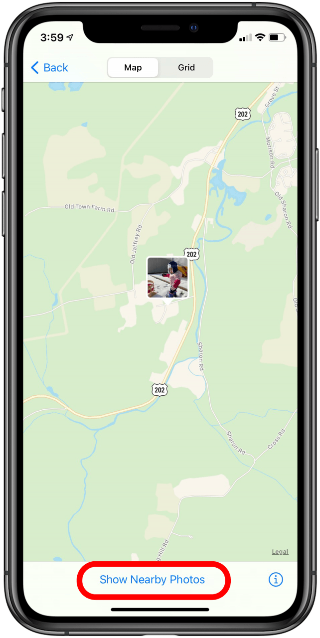
Use both fingers and pinch the screen to zoom out.
-
Tap Show Nearby Photos.
-
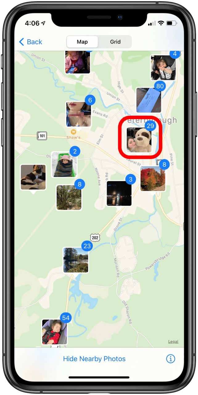
Select any area with photos to see the photos you took at that location.
Top image credit: GongTo / Shutterstock.com